

With one-in-six UK species already under threat of extinction a groundbreaking study of land has raised red flags over the health and stability of various environment types.
Great Britain is one of the most nature-depleted countries in the world, but a new conservation mapping project conducted by SaaS company AiDash has identified the types of locations which are particularly at risk of devastation over the next 30 years.
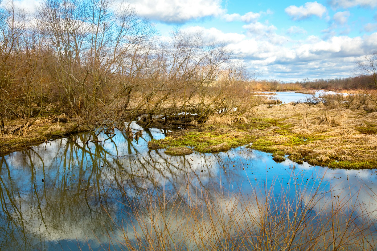
The five habitats most vulnerable to ‘near-term depletion’ in the UK have been identified as:
- Lowland fens
- Lowland raised bogs
- Blanket bogs
- Woodlands
- Hedgerows
Notably, these environments are not only rich in biodiversity they also offer significant carbon sequestration and ecosystem regulation. Bogs, for example, can remove up to 3.54 tonnes of carbon dioxide per year, per hectare. Meanwhile, the average woodland can remove 21million tonnes of carbon dioxide annually over the same area, and currently cover just 13% of Great Britain.
Alongside lowland fens, hedgerows, lining roads and footpaths, these habitats are vital for nature recovery across the country but are being lost at an alarming rate. In 2022, there was a 50% increase in the number of bog sites classified to be in an ‘unfavourable’ condition . 39% of blanket bogs are ranked similarly, while just 40% of woodland is considered to be a ‘favourable’ state. Meanwhile, hedgerows have decreased in length by 24% between 1984 and 2007.

‘We are at a crossroads in the history of the UK’s biodiversity,’ said Shashin Mishra, VP of EMEA at AiDash. ‘We have to accept and acknowledge that considerable damage has already been done, but that there is still the opportunity to reverse the tide. But only if we take the matter seriously today, combining our collective knowledge, resources, technologies, and efforts to ensure that we take the appropriate steps to ensure meaningful positive change.
‘With higher-resolution imaging and hyperspectral analysis, we can identify habitat health, soil, water contaminants, and other critical factors influencing biodiversity. Utilising AI and satellite technology allows us to accelerate the process of identifying and prioritising depleted habitats, which can take years without these tools. Technology bridges the ecological skills gap and will ensure the preservation of iconic habitats for future generations,’ they continued.
AiDash featured in Environment Journal’s feature, Look up, off world: The satellite tech driving climate action.
More on climate change and net zero:
WATCH: Nature recovery plan guide for renewable energy sites
10 ways organisations can protect themselves from extreme weather
Image: Randy Fath
- SEO Powered Content & PR Distribution. Get Amplified Today.
- PlatoData.Network Vertical Generative Ai. Empower Yourself. Access Here.
- PlatoAiStream. Web3 Intelligence. Knowledge Amplified. Access Here.
- PlatoESG. Carbon, CleanTech, Energy, Environment, Solar, Waste Management. Access Here.
- PlatoHealth. Biotech and Clinical Trials Intelligence. Access Here.
- Source: https://environmentjournal.online/net-zero/most-at-risk-british-habitats-revealed-through-conservation-mapping/